TRANSCRIBER’S NOTE
The main text of this handbook is in Parts 1 and 2. There were many2-page information segments inserted throughout this text. In thisetext these fourteen inserts have been moved to the end of Part 2,to improve readability of the main text. Part 3 consists solely ofa further set of 1- and 2-page informational inserts.
Each insert is separated by a thick black horizontal line.
Some hyphens in words have been silently removed, some added,when a predominant preference was found in the original book.
The Table of Contents in the Frontmatter has been augmented by thetranscriber to include fourteen entries in Part 2 for “A Glacial Base”,and the other informational inserts.
The following minor changes have been made to the original text:
Frontmatter: ‘along the the Cape’ replaced by ‘along the Cape’.
Pg 54: ‘and others fishes’ replaced by ‘and other fishes’.
Pg 93: ‘chower is made’ replaced by ‘chowder is made’.
Pg 112: ‘Everett 66-67 dunin’ replaced by ‘Everett 66-67 dunlin’.
Cape Cod
Official National Park Handbook
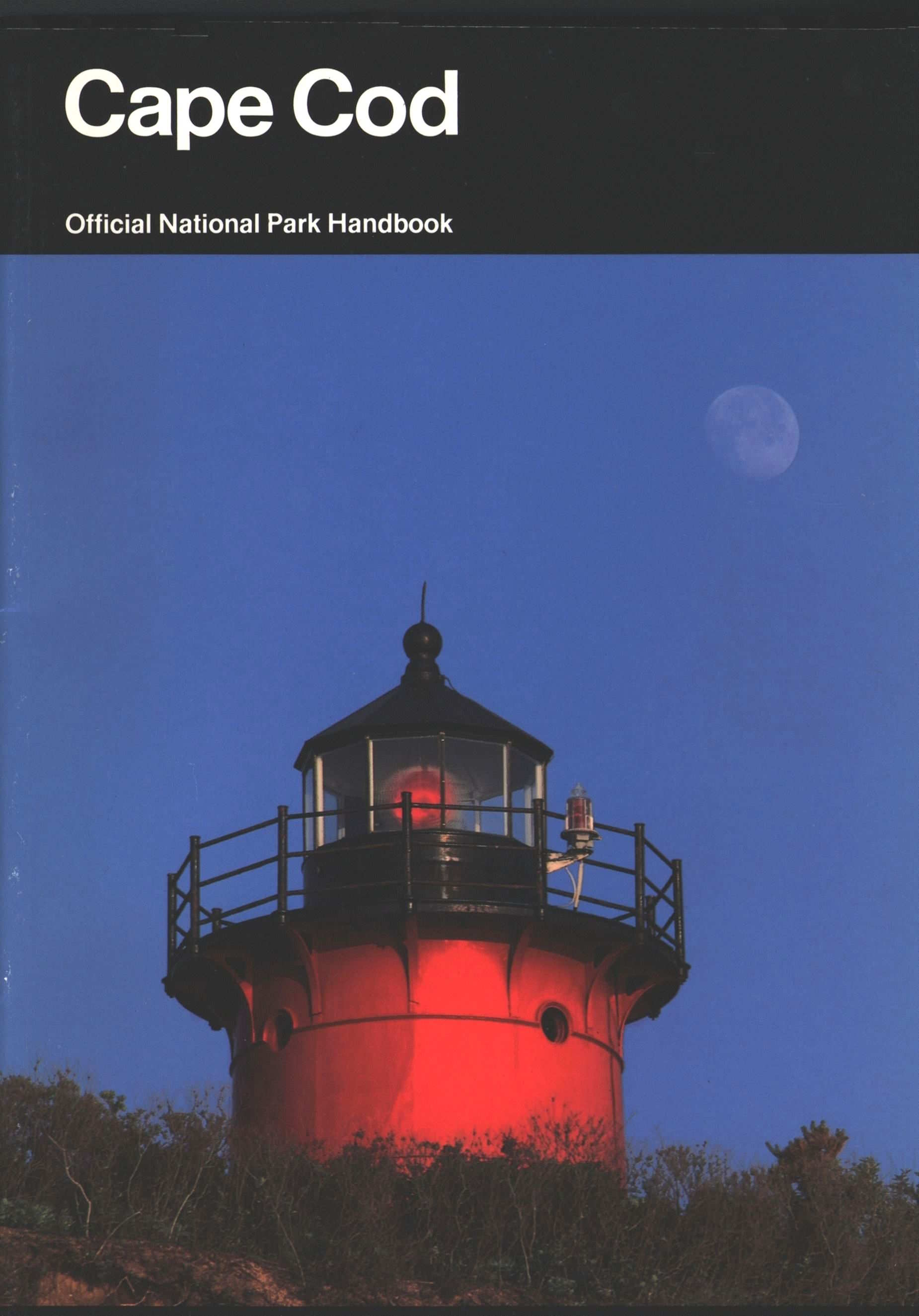
Front cover: Nauset Lighthovers over an eroding clifffacing the Atlantic Ocean inEastham.
Handbook 148
Cape Cod
Its Natural and Cultural History
By Robert Finch
A Guide to Cape Cod
National Seashore
Massachusetts
Produced by the
Division of Publications
National Park Service
U.S. Department of the Interior
Washington, D.C.
Using This Handbook
The Cape Cod peninsula extending into the AtlanticOcean off Massachusetts is one of America’s primecoastal recreational areas. Cape Cod National Seashore,managed by the National Park Service, extendsfor 40 miles along the Cape’s outer armbetween Chatham and Provincetown. In Part 1 ofthis handbook, author and longtime resident RobertFinch introduces the reader to the Cape’s richcultural and natural history and to the NationalSeashore. In the three chapters of Part 2, Finch moreclosely examines the land, the sea, and the transformationsthat have taken place in recent years. Pictorialfeatures on various Cape aspects supplementthese chapters. Part 3 presents concise travel guideand reference materials, including a full-color map.
National Park Handbooks are published to supportthe National Park Service’s management programsand to promote understanding and enjoyment of themore than 360 National Park System sites. Eachhandbook is intended to be informative readin